


 68 villages exist within the area and 14 on the boundaries of the Northern Pindos National Park that can be subdivided into five distinct cultural unities:
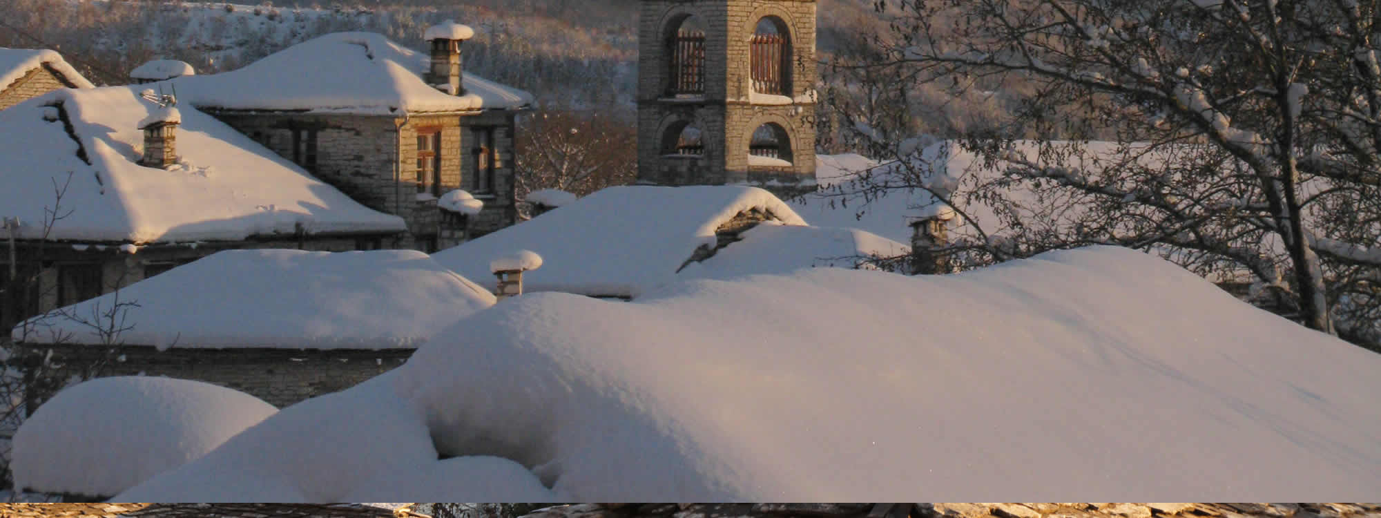
Zagori: Its name states “the place behind mountains” (za+gori) and it constitutes a unity of 46 settlements (36 of which are within the boundaries of the Park and 5 near the boundaries) with common history, economic and social composition and cultural character. This is the result of a peculiar tax and administration status quo during the Ottoman sway. Most settlements have special architecture interest and are protected as traditional settlements. The few permanent residents are mainly engaged with agriculture, trading, cattle-raising, forestry and tourism.
Konitsa: It is built at the west ending of the Aoos canyon and during the past, it was an important trading center of the broader area. At the boundaries of the Konitsa Municipality 43 settlements exist, 12 of them are also within the National Park area and 3 on its boundaries. The residents of the area are engaged with forestry, cattle-raising, agriculture, constructions and -lately- tourism.
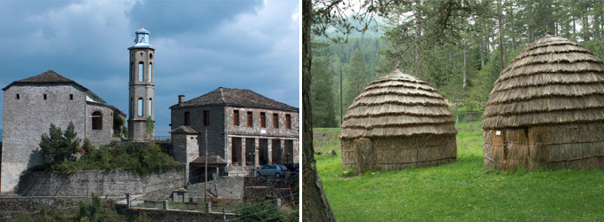
Metsovo: It is located near the boundaries of Pindos National Forest and it is built at 1,100 meters altitude, at the upper part of Metsovitikos river valley, which is a tributary of river Aracthos. Thanks to the special privileges earned during the Ottoman Empire, it became an important trading, financial, spiritual and cultural center. Many historical figures and national benefactors came from Metsovo. In older times clothing industry flourished at the area. Nowadays residents engage in forestry, wood sculpture, barrel making, cheese and wine production and tourism. Milia and Chrisovitsa are settlements of the Metsovo area, located also within the Park’s boundaries.
The mountainous Vlach’s villages (Vlachochoria): Samarina, Smixi, Perivoli, Avdella and Krania are built at the slopes of Smolikas, Vasilitsa and Ligkos mountains. They belong to Grevena Prefecture. Their residents engage with cattle raising, forestry and, lately, tourism.
The villages of Kopatsarei: Also belonging to the Grevena Prefecture. They are placed east of the mountainous Vlachochoria at an altitude of 800-1,200 meters and in the watershed of Aliakmonas River. Fourteen of them are placed within the Park’s boundaries and five of them on the boundaries. Their name comes from the Vlach word “cupaci” (plural of “cupaciu”) which means oak tree. It is a name first used by Vlachs for the residents of the nearby villages that existed at lower altitudes. Their residents are mainly engaged with cattle rising and agriculture-during the past many of them worked as mule drivers.